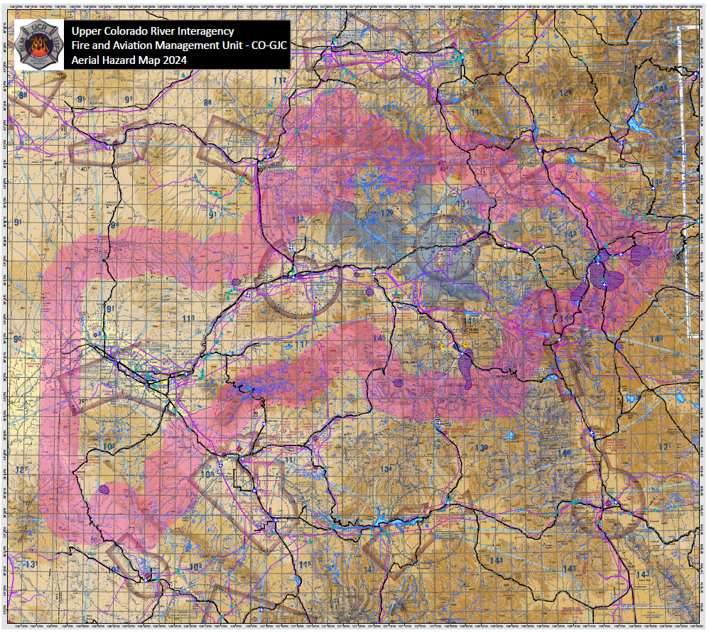
Upper Colorado River Interagency Fire and Aviation Management Unit WARNING: File sizes can be large - we suggest you download the files rather than opening them through your browser (ie, right click and save link or target). CO-GJC Aerial Hazard Map - 2024 West Zone: North Map South Map East Map Central Zone: North Map South Map West Map East Zone: East Map West Map